- Screen Colours:
- Normal
- Black & Yellow
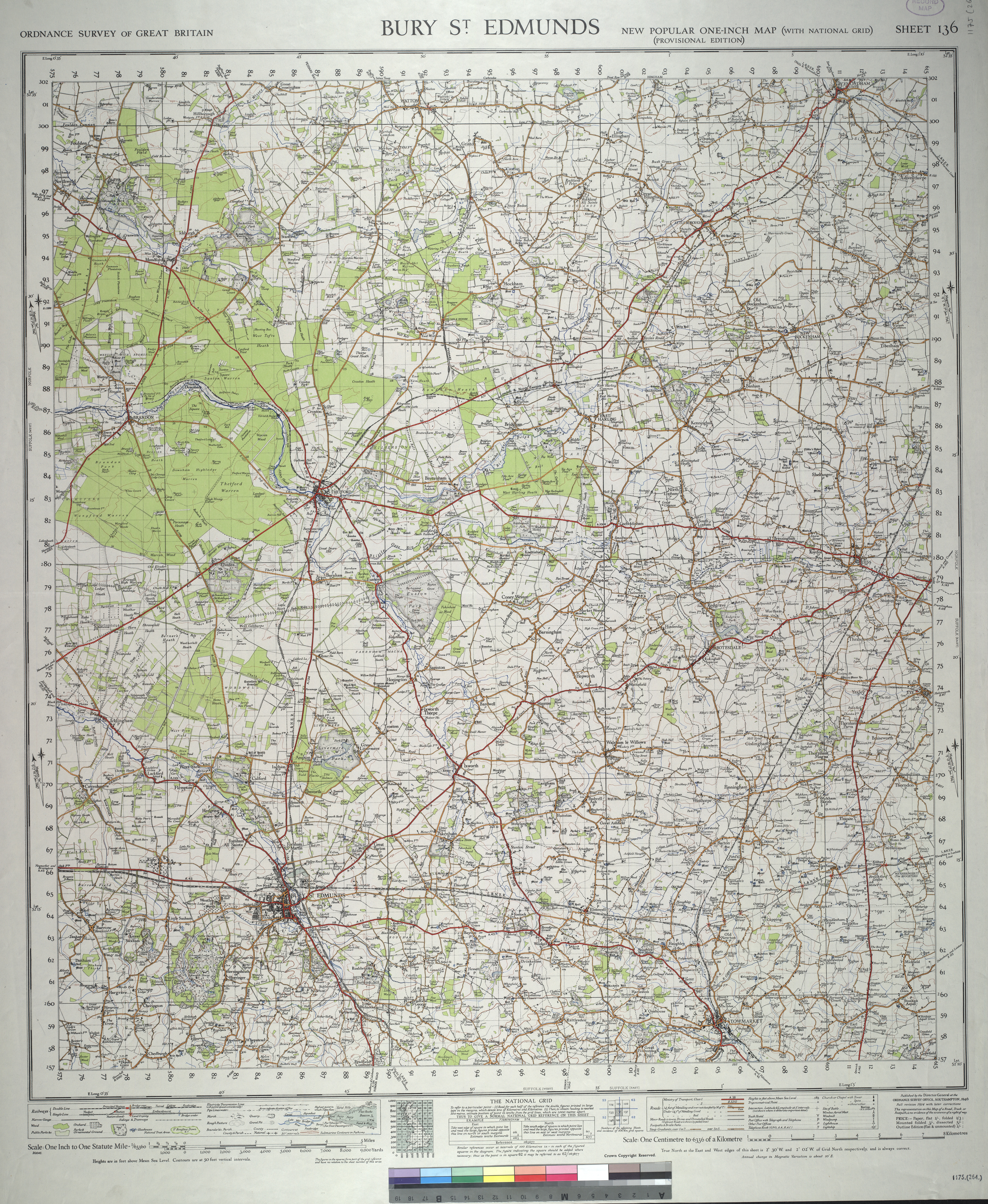
PALGRAVE is an attractive Suffolk village situated 1 mile inside the Norfolk and Suffolk border, close to the market town of Diss in the middle of rural East Anglia, it is 105 miles from the center of London, and lies approximately in the center of a triangle formed by the City of Norwich, Ipswich and Bury St Edmunds all of which are about 21 miles away and connected by major roads. A 1945 area map is available to view, Palgrave being on the far right of the map.
Until it was bypassed in 1995, its main West/East road was the important link between Bury-St-Edmunds and Great Yarmouth which had historical significance dating from the time of Domesday to more recent times when it served as a busy summer route to the Suffolk coast for many holiday makers.

The church of St Peter, with its Norman font, has a fine painted hammerbeam roof of circa 1400, and was built with the knapped flint facing so typical of Suffolk churches at that time. The village has two "greens" both being maintained in their original condition, one of which fronts onto the village pond, and surrounded by dwellings of mixed design, dating from the early 16th century.

Although the village sadly now contains no shops or post office, its close proximity to the Diss town centre, permits pedestrians to undertake a pleasant rural walk down into the town where many shops and facilities are situated. Palgrave has 905 inhabitants and at one time was known as the "artists village" as many East Anglian painters lived there. For the latest Parish Profile giving details of the Housing and Population breakdown compiled October 2019, please use the aforementioned link Parish Profile.
Many of the inhabitants of Palgrave are active with the affairs of the Parish Council, Community Centre, and the church, such that the village enjoys a busy calendar of events suitable for all ages, all of which are published monthly in its own local paper the "Palgrave Star".
 One of the many ponds in the village, this one is on The Green.